Bavaria, Germany · cross-border (Germany, Austria)
Skigebiet Söllereck ski resort
- Top 1,445 m
- 11 km of runs
- 11 lifts
The short answer
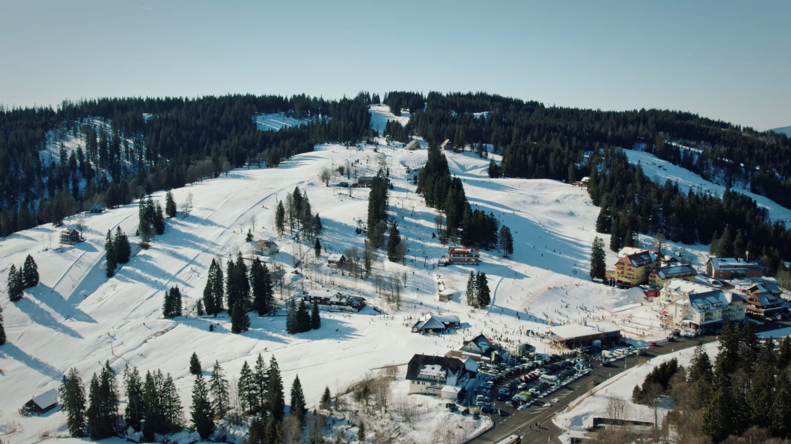
Skigebiet Söllereck has about 11 km of mapped runs and 11 lifts, with skiing from about 955 m up to 1,445 m (4,741 ft), a vertical drop of 490 m. By mapped runs it is number 15 of the 27 Germany ski areas in our list. The nearest airport with scheduled flights is Sankt Gallen Altenrhein (ACH), about 52 km away in a straight line.
Skigebiet Söllereck ski holidays with lift pass
2 hotels, apartments and chalets for Skigebiet Söllereck from SnowTrex, most with the lift pass included, from €372 per person; a week with the lift pass from €634.
Hotel★★★
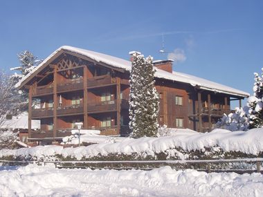
Gästehaus zur Färbe
Nebelhornbahn lift 500 m · In the centre
from €634 per person7 nights · Self-catering · lift pass included
Check dates on SnowTrexHotel★★★★
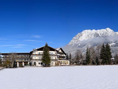
Hotel Wittelsbacher Hof
Nebelhornbahn lift 800 m · Ski bus 200 m · Centre 400 m
- Dogs allowed
- Swimming pool
- Big child discounts
- Sauna
from €1,059 per person7 nights · Half board · lift pass included
Check dates on SnowTrex
- Ski holidays with dogs in Germany (1 here)
- Family ski holidays in Germany (1 here)
- Ski hotels with a pool in Germany (1 here)
- Short ski breaks in Germany (2 here)
- Half-board ski hotels in Germany (1 here)
Prices per person from SnowTrex’s partner feed, checked 13 October 2026: the lowest price for that stay length in the 2026/27 season, with the lift pass where stated. Distances are from the property description. You book on snowtrex.at, SnowTrex’s German-language site (your browser can translate it); we may earn a commission at no extra cost to you.
Ski area facts
- Top elevation
- 1,445 m4,741 ft
- Vertical drop
- 490 m1,608 ft
- Mapped runs
- 11 km21 runs
- Lifts
- 11mostly t-bars
Runs by difficulty
About 65% of the mapped run length is novice or easy, 30% intermediate and 5% advanced or harder. Difficulty follows OpenStreetMap’s international scale (in Europe, easy ≈ blue, intermediate ≈ red, advanced ≈ black).
| Difficulty | Runs | Length |
|---|---|---|
| Novice | 1 | 0.2 km |
| Easy | 13 | 7.2 km |
| Intermediate | 6 | 3.4 km |
| Expert | 1 | 0.6 km |
Lifts
11 mapped lifts, most of them t-bars.
| Lift type | Count |
|---|---|
| T-bars | 3 |
| Drag lifts | 3 |
| Gondolas | 2 |
| Magic carpets | 2 |
| Chairlifts | 1 |
Piste map
For the current official piste map, open the resort’s website. You can also explore every mapped run and lift on OpenSkiMap’s interactive map.
Nearest airports
Airports with scheduled flights, by straight-line distance (road distance is longer).
| Airport | City | Straight-line distance |
|---|---|---|
| Sankt Gallen Altenrhein (ACH) | St. Gallen | 52 km |
| Bodensee Airport Friedrichshafen (FDH) | Friedrichshafen | 63 km |
| Memmingen Allgau (FMM) | Memmingen | 67 km |
Frequently asked questions
What is the elevation of Skigebiet Söllereck?
The highest mapped run starts at about 1,445 m (4,741 ft) and the lowest ends at about 955 m (3,133 ft), a vertical of 490 m (1,608 ft).
How many km of ski runs does Skigebiet Söllereck have?
OpenStreetMap maps about 11 km of downhill runs and 11 lifts. The resort’s own figure may differ because it measures runs differently.
What is the nearest airport to Skigebiet Söllereck?
Sankt Gallen Altenrhein (ACH) is the closest airport with scheduled flights, about 52 km away in a straight line.
Where can I see the Skigebiet Söllereck piste map?
Use the resort’s official website for the current piste map, or view the mapped runs and lifts on OpenSkiMap.
Ski area data © OpenStreetMap contributors (ODbL), processed by OpenSkiMap; airports from OurAirports. Retrieved . Elevations are those of the highest and lowest mapped runs; run lengths are measured from the map and can differ from the resort’s published figures. Check the official website before you book.